

Simplified access to information to better understand and analyze natural resource development activities in Quebec
Monitoring natural resource development on your territory can quickly become a challenge: data is scattered, information can be hard to find, and projects are constantly evolving. To make this easier, we are introducing our interactive map, a tool designed specifically for First Nations communities and organizations.
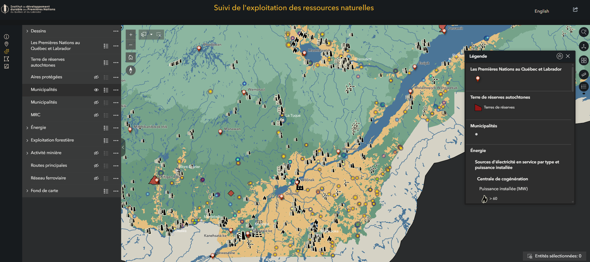
All the information in one place to meet your needs
This map brings together public data on Quebec’s energy, mining, and forestry sectors. In just a few clicks, you can explore the nature and status of projects, their territorial extent, the actors involved, and certain related authorizations. You can even import additional data and export maps as PDFs.
No more switching between multiple websites or databases: everything is centralized to save you time and provide an at-a-glance view of projects on the territory.
We’re here for you
Our team can support you and provide technical assistance to help you become familiar with using the map or to discuss analyses you would like to explore further. Whether through training or one-on-one support, feel free to contact us.
For technical support on using the map, contact our geomatics team.
For support with the analysis of mining, forestry, or energy projects, or for support in negotiating agreements related to these projects, please contact our Impact and Benefit Agreements (IBAs) team.