

Forest fire monitoring platform: situation, alerts and forecasts
A tool for monitoring wildfires in your areas
Track active wildfires on First Nations lands
We have set up a wildfire monitoring platform for First Nations. This platform brings together various maps and is powered by multiple data sources, such as SOPFEU, various government departments, NOAA, and others. The advantage of our platform is that it consolidates all the data in one place, but most importantly, it pinpoints the locations of First Nations communities in Quebec and Labrador.
All the data in one place
Our platform includes three maps, each represented by a different tab. Each map displays different, specific data.
Active Fires and Live Warnings Tab
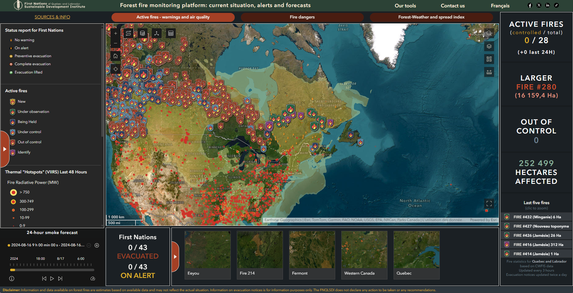
In this tab, a map provides information on active fires, categorized according to their current status as determined by SOPFEU: new, under observation, being held, under control, out of control and surveyed. It also shows open-fire restrictions, smoke distribution, and air quality indices for certain communities, when available. Explore the different “risk zones” by selecting the options below the map.
Fire Dangers Tab
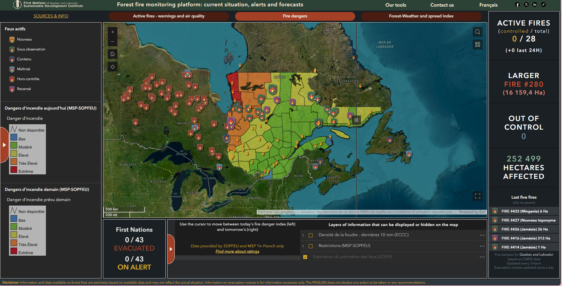
In this tab, the map displays the fire danger level for different regions as determined by SOPFEU, ranging from low to extreme. A slider located directly on the map allows you to compare today’s and tomorrow’s fire danger levels. You can also show or hide information, such as lightning density or estimated fire perimeters, by selecting different options below the map.
Forest-Weather in Canada Tab
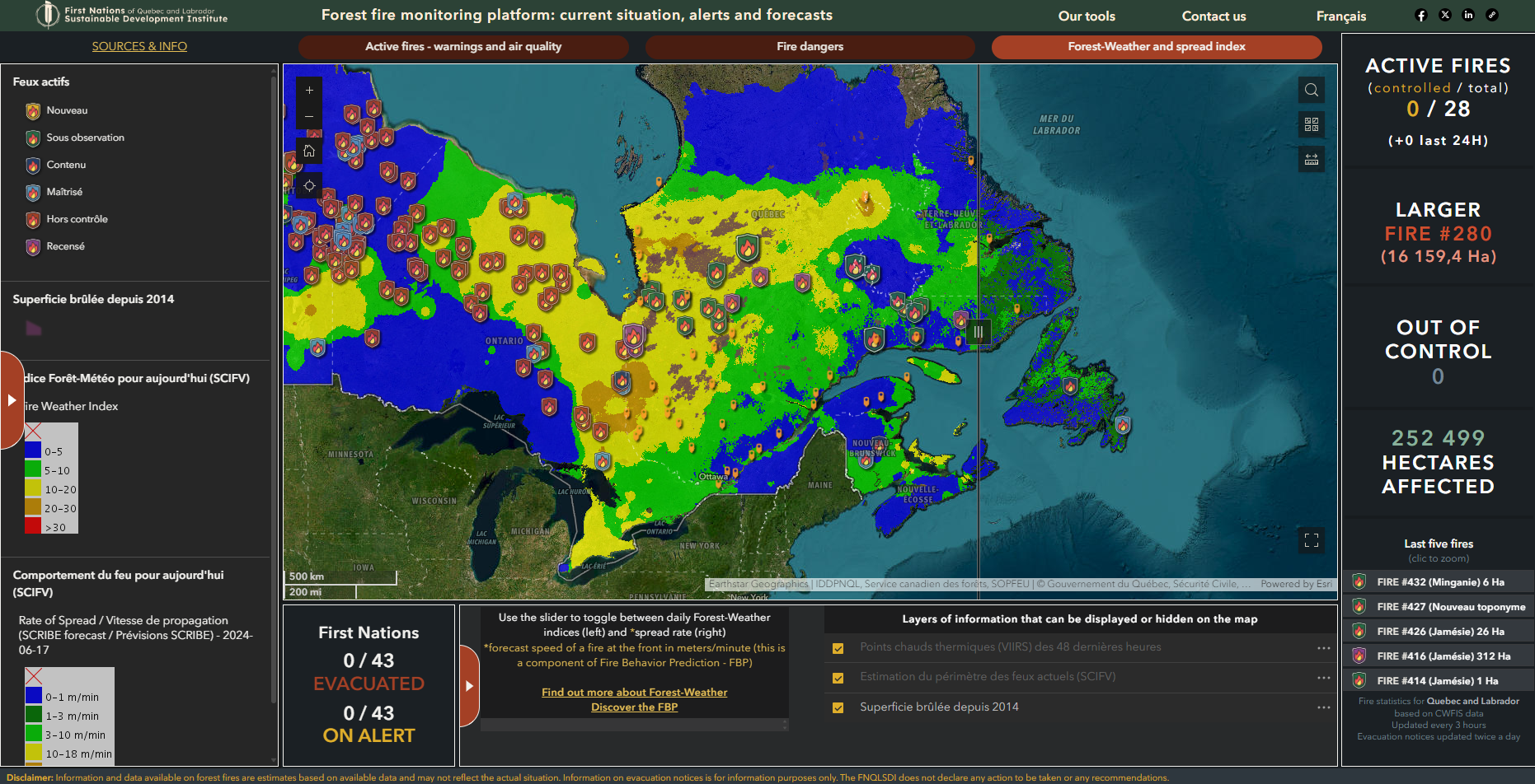
In this tab, the map displays the forest-weather indices, a standardized Canadian method used to assess the danger level and potential behavior of a wildfire, as well as the rate at which fires spread. The map also shows, as additional information, the total areas burned over the past 10 years.
Disclaimer
Information and data available on forest fires are estimates based on available data and may not reflect the actual situation. Information on evacuation notices is for information purposes only; the FNQLSDI is not declaring any action to be taken or making any recommendations. The Ministère de la Sécurité intérieure (MSI) and its government partners in IGO cannot guarantee the accuracy of the data services, nor can they be held responsible for any conclusions reached as a result of using them. The MSI and its government partners in IGO will not be liable for any damages suffered by the user or its employees, agents, representatives or subcontractors as a result of the use of these data services.
Our data sources for this tool
SOPFEU, Natural Resources Canada (NRCan), Canadian Forest Service, Ministère des Ressources naturelles et des Forêts, NOAA, National Weather Service Smoke Forecast, PurpleAir, Canadian Wildland Fire Information System (CWFIS), Ministère de la Sécurité intérieure, Transport Québec, OSM, ESRI