Preventing forest fires with live monitoring systems

Joint project with the First Nations of Opitciwan, Abitibiwini and Uashat mak Mani-Utenam
This year, our geomatics team is launching the “Plan Sentinelle” project. One of the project’s key objectives is to design and implement forest fire and fire outbreak monitoring systems at strategic locations identified by First Nations.
These monitoring systems include smoke particle sensors, a weather station, and, most importantly, a high-definition camera. The camera is much more than just an optical eye: it can detect any suspicious smoke, providing an early warning within minutes of a fire starting. This technological advance could make all the difference in protecting our forests.


Working together for better protection
The Sentinel Plan project is being carried out in collaboration with three First Nations: Opitciwan, Abitibiwinni, and Uashat mak Mani-Utenam. Stakeholders from these First Nations will actively participate in the project, primarily by sharing their expertise and local knowledge. This collaboration will enable the development of concrete tools that will contribute to the protection of the territories.
The project also aims to equip band councils and emergency management teams with the tools they need to make informed decisions about prevention and response. By leveraging technology and Indigenous leadership, the project supports community self-determination and assists communities in responding quickly and effectively to emergencies.
The Sentinel Plan project was selected as part of Natural Resources Canada’s Developing and Mobilizing Fundamental Knowledge on Wildfires program.
First camera installed in Opitciwan
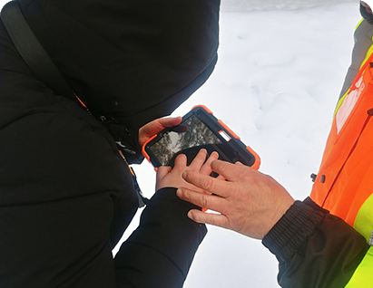
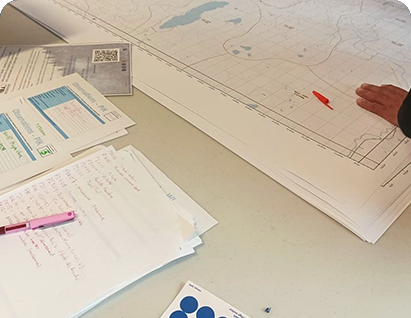
On July 8, 2025, our geomatics team, accompanied by two technicians from Télésignal, went to the summit of Mt. Tchikatnaw to install a high-definition camera at the top of the telecommunications tower. This camera will detect any suspicious smoke and send an alert as soon as a fire starts.
The choice of Mt. Tchikatnaw is not insignificant: this site was once home to a “fire tower” used for fire surveillance until the late 1970s. It is therefore a great way to combine tradition and innovation, modernizing a place already recognized for this purpose and its strategic view.
In addition, a weather station has also been installed near the community. It will collect local data to better understand climatic conditions and strengthen surveillance of the territory. Furthermore, the PurpleAir sensors already in place will be used to check air quality, a key parameter for detecting the presence of smoke.
This first installation marks a key milestone in the deployment of the Sentinel Plan project. Other installations and collaborations are planned to expand the network of boreal forest sentinels, particularly in the territories of Abitibiwinni and Uashat mak Mani-Utenam in the summer of 2026.