Forestry roads analyzed to the nearest centimetre in Manawan

Project carried out in collaboration with the Manawan Atikamekw First Nations
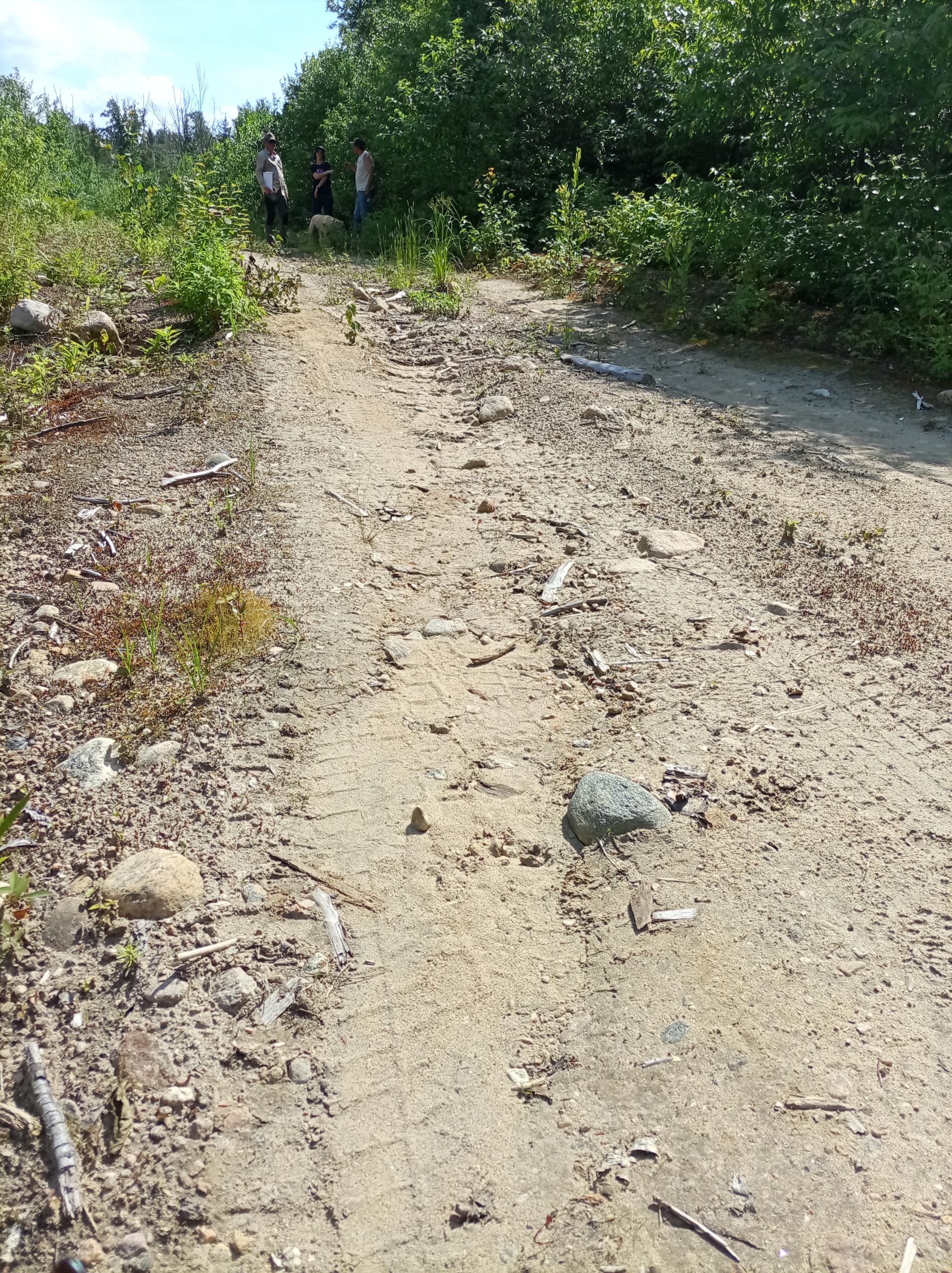
In Nitaskinan, forestry roads play a central role in providing access to the territory and supporting a wide range of activities. However, their high density creates management and maintenance challenges, while also intensifying certain environmental impacts. In 2025, we launched a project with the First Nation of Manawan to better understand the impacts of forestry road erosion on sedimentation and water quality in streams and rivers.
This project will provide a clear picture of the condition of forestry roads in Manawan’s Nitaskinan. This overview will support decision-making, guide future actions, and promote better maintenance and siting practices with a view to protecting waterways.
A multi-year collaborative project
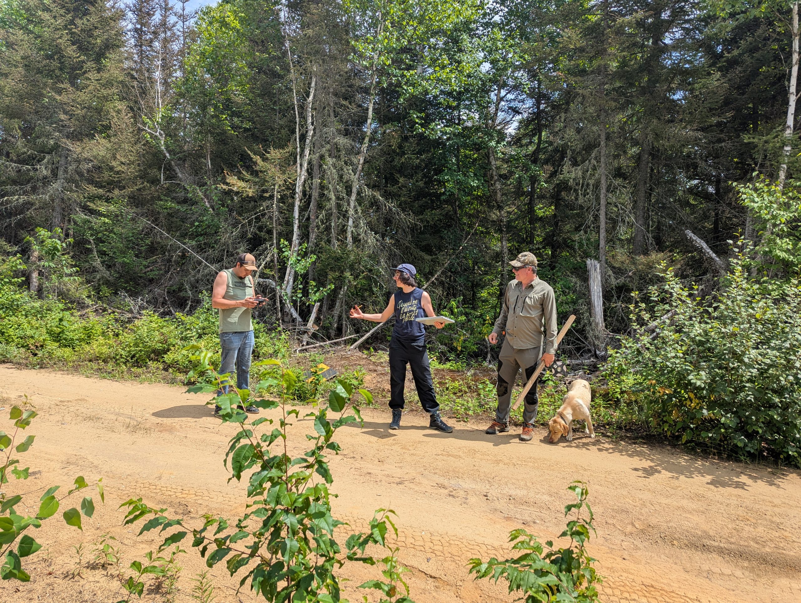
This study is based on close collaboration, with each partner contributing its expertise. Together, we are developing the data acquisition and processing methods: representatives from the First Nation of Manawan are drawing on their knowledge of the territory and carrying out field data collection, while our geomatics team is developing the methodology, automating data processing, and conducting the analysis.
During the first year of the study, we analyzed 34 km of forestry roads using LiDAR data. The results were summarized in a report submitted to the community. This initial analysis validated the methodological approach and laid the groundwork for the next stages of the project.
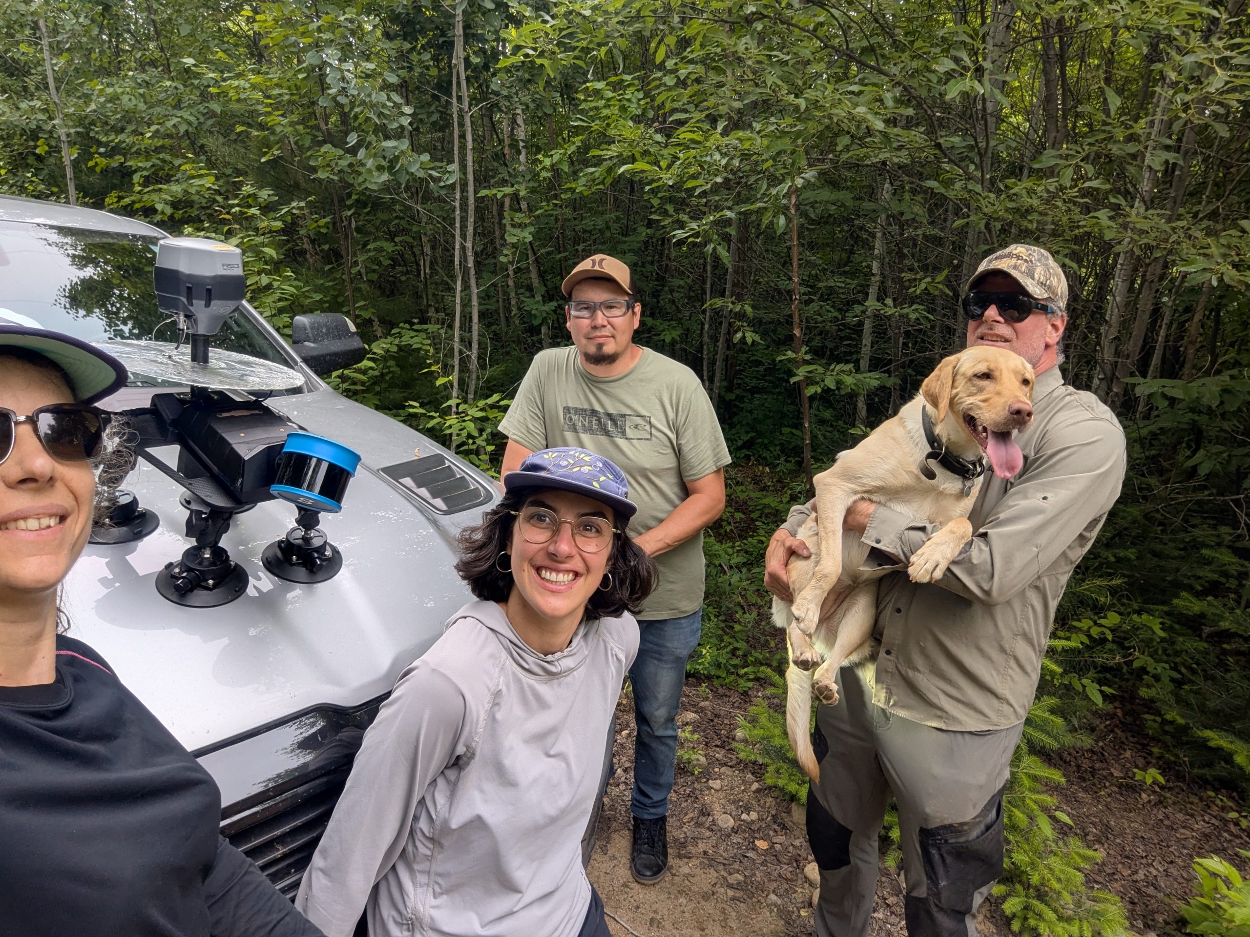
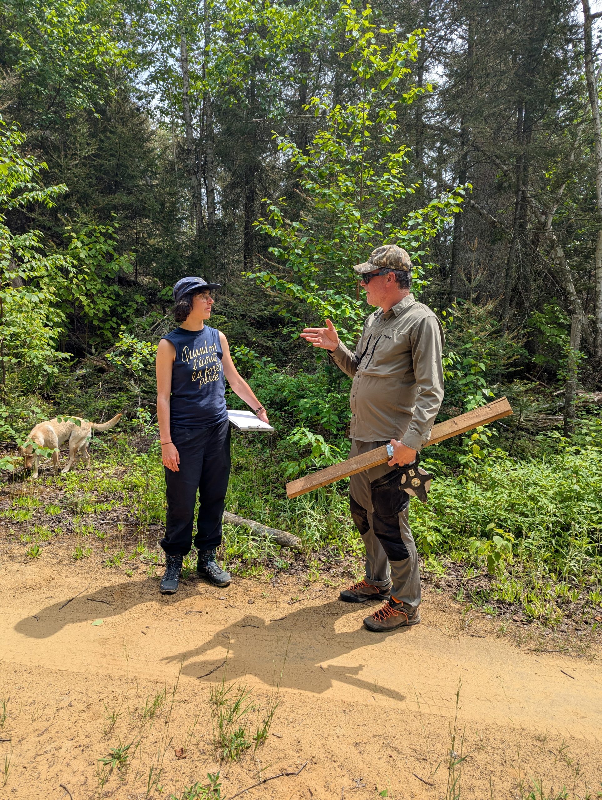
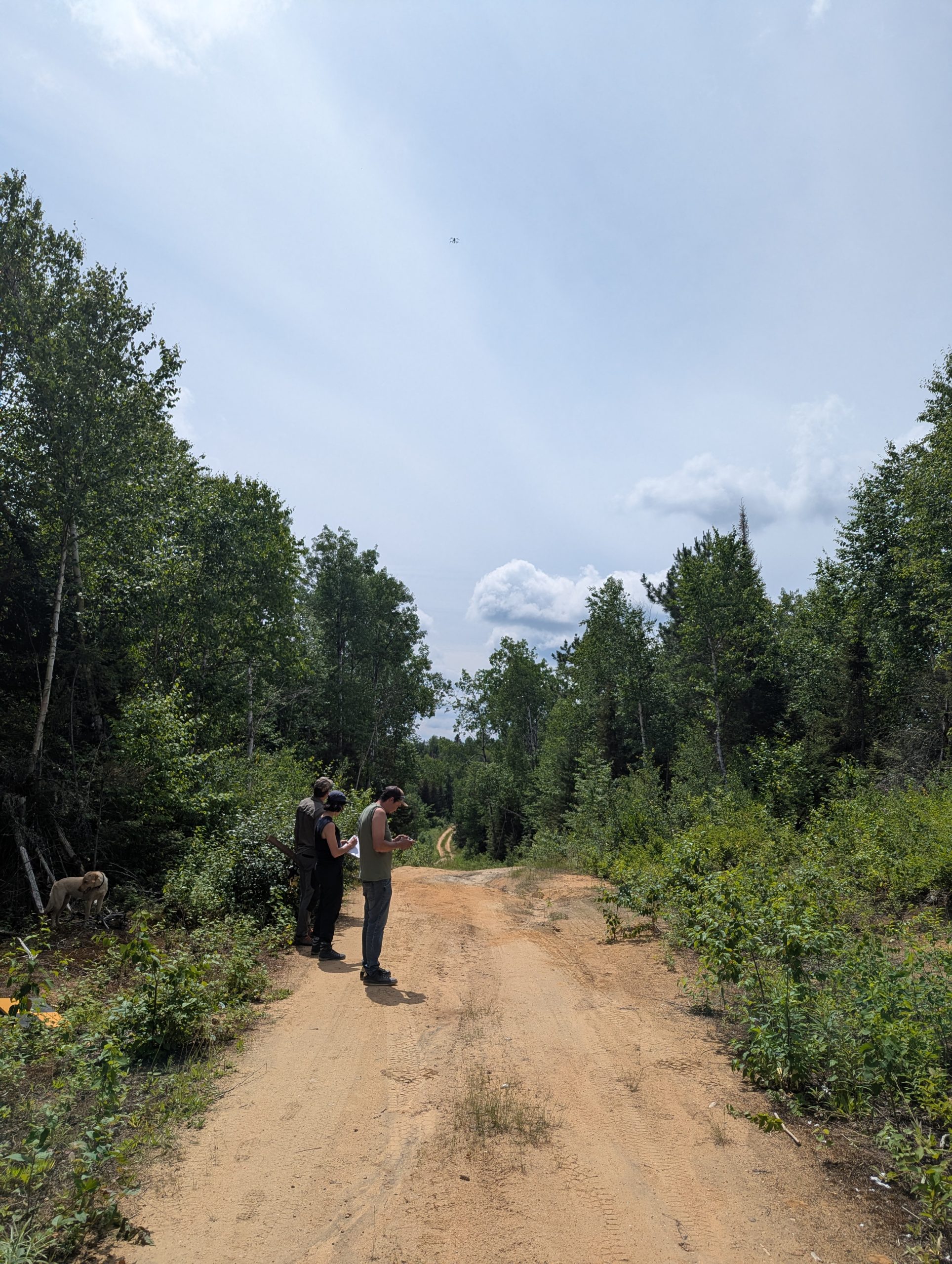
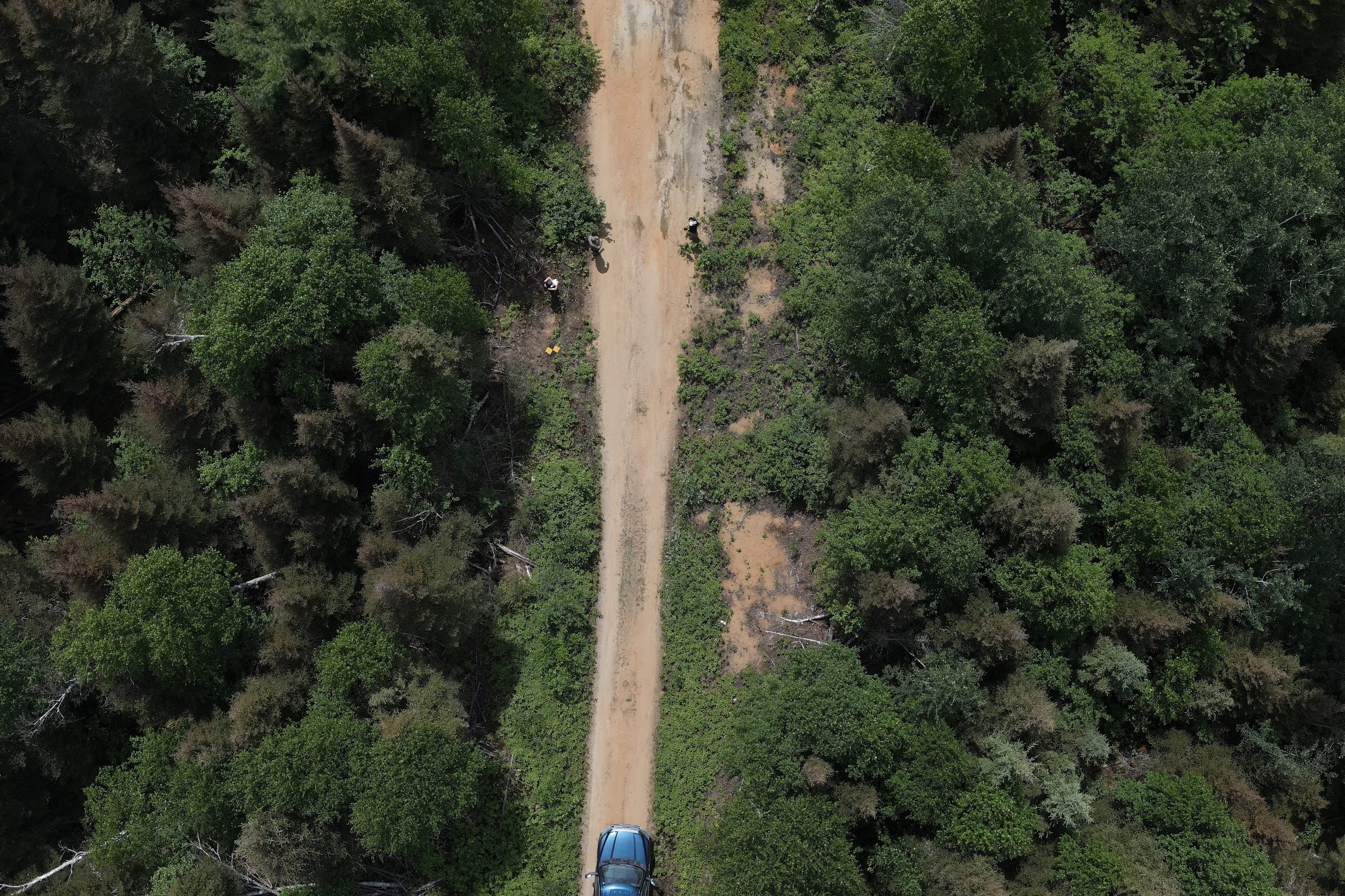
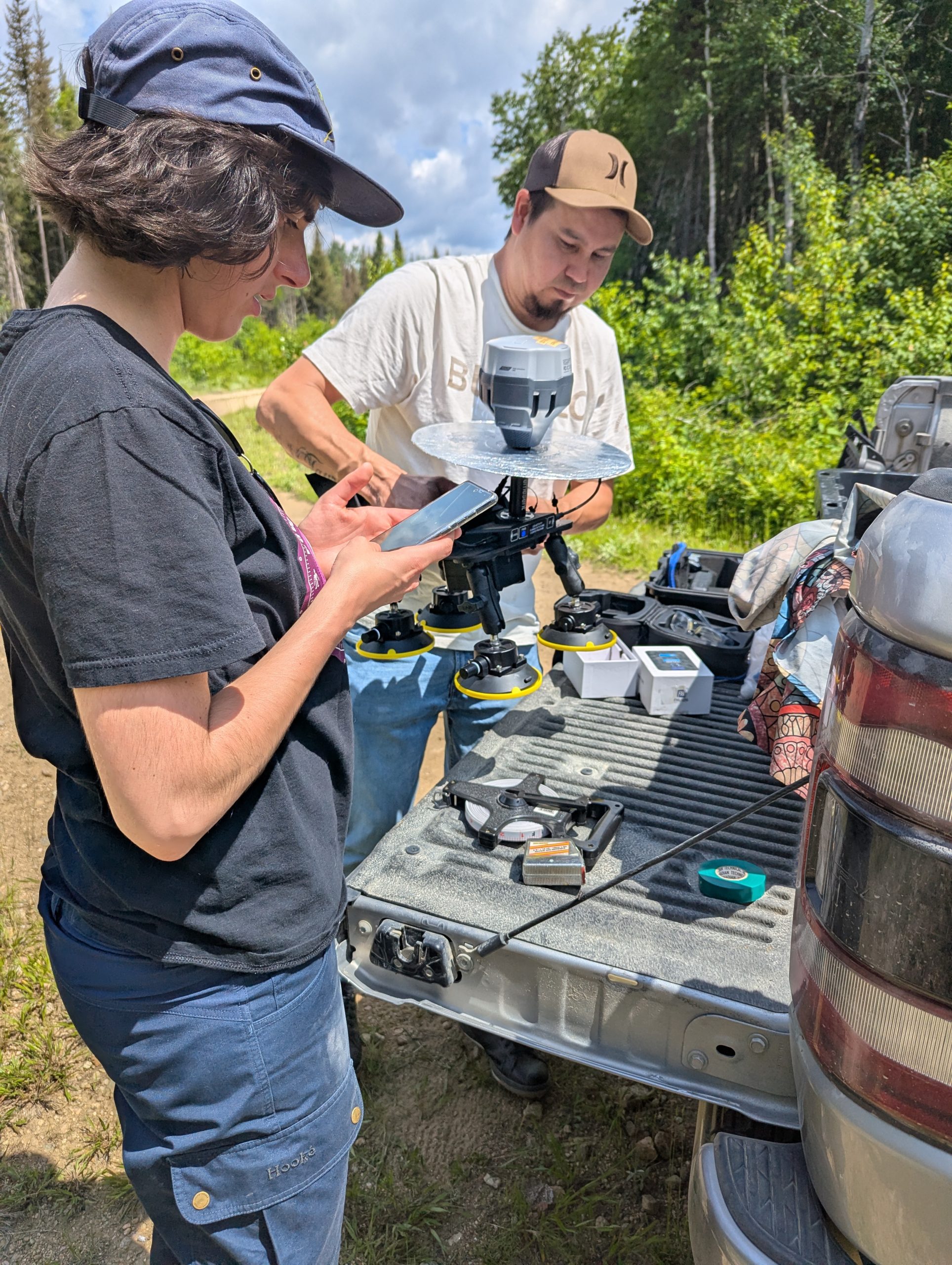
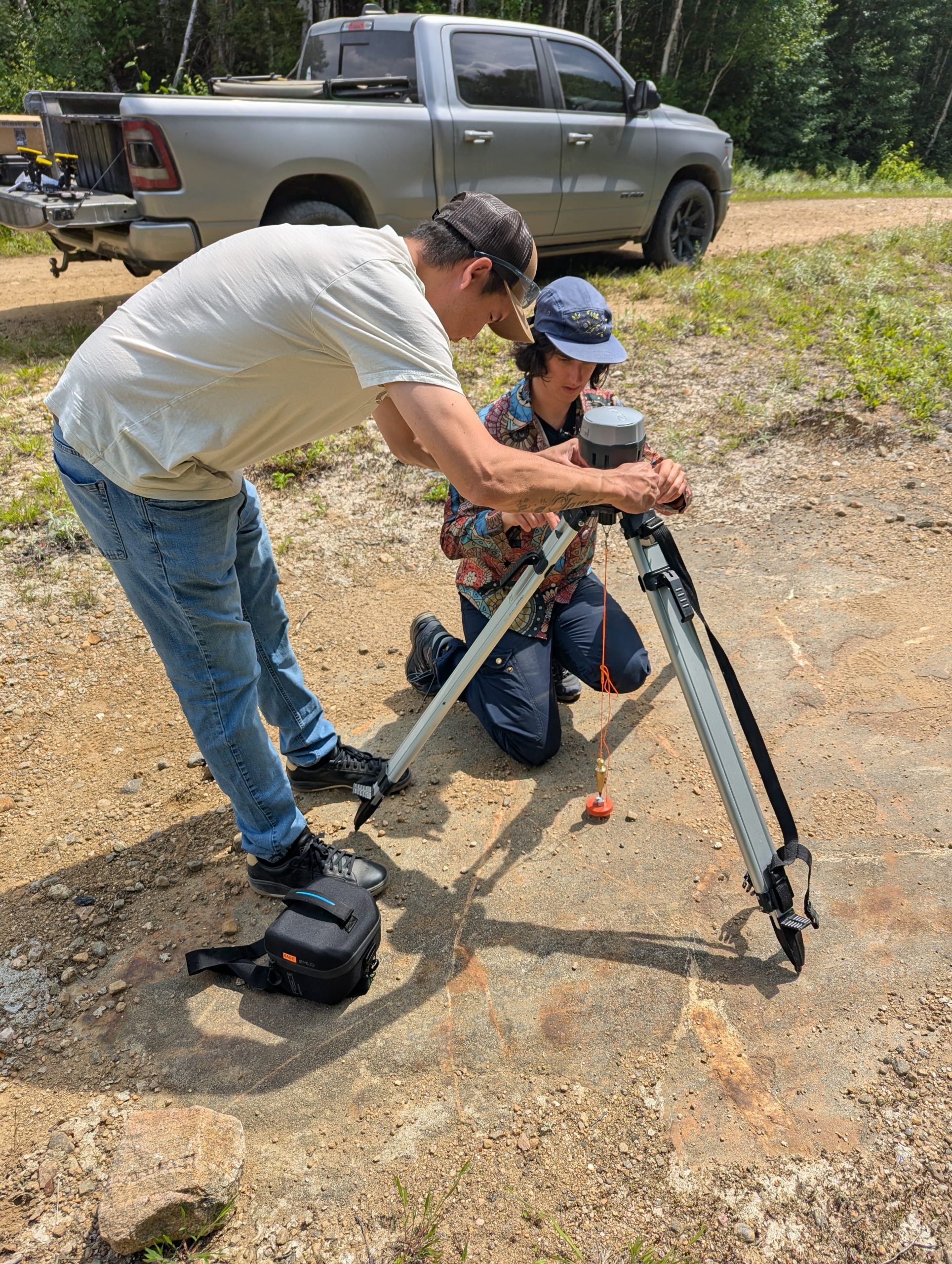
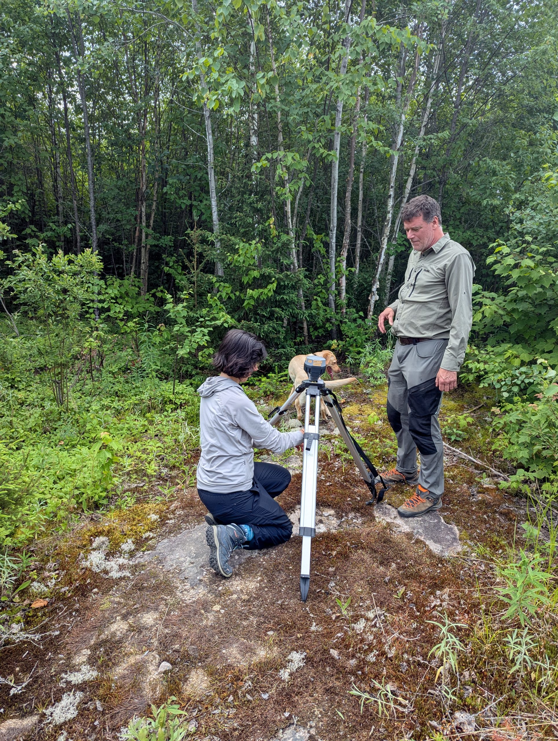
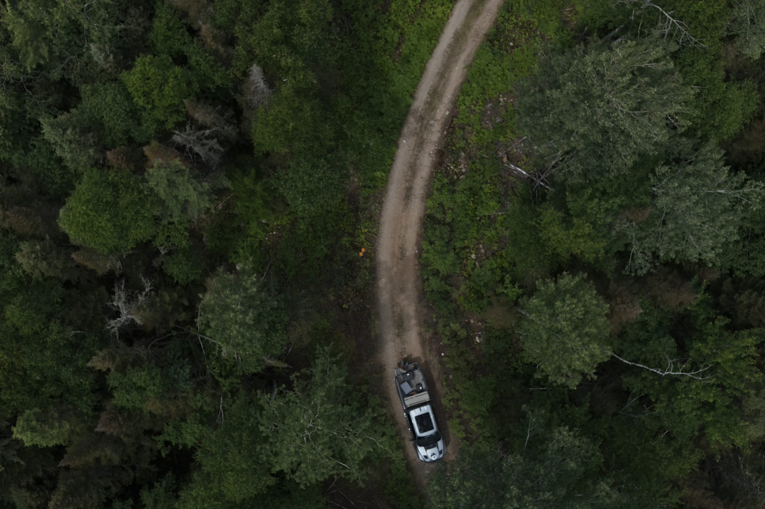
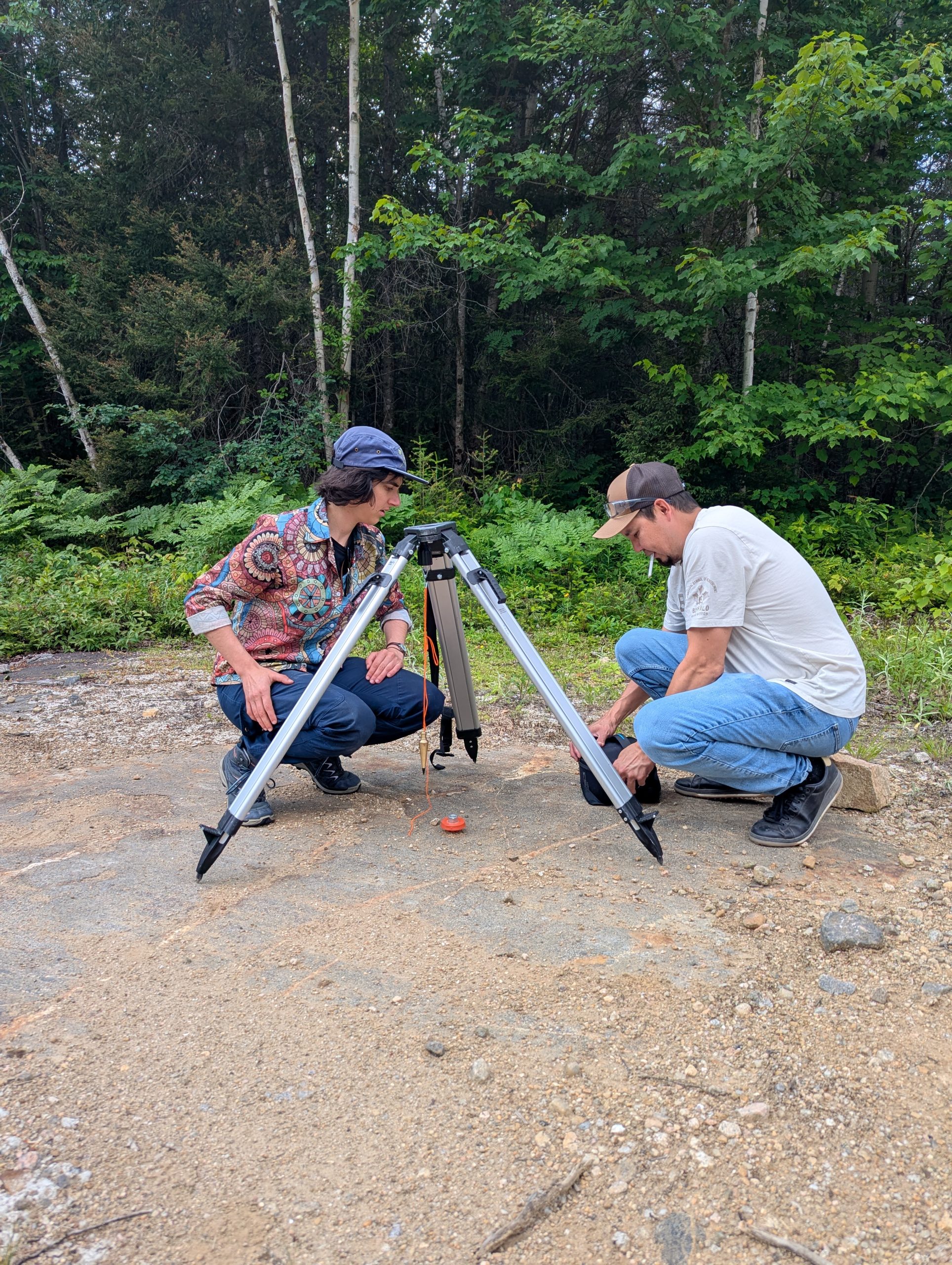
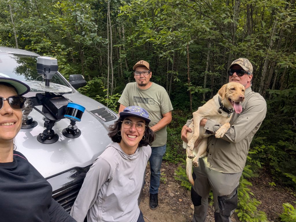
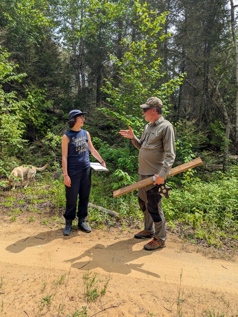
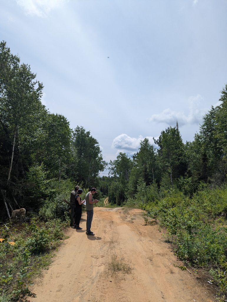
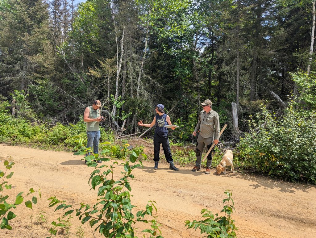
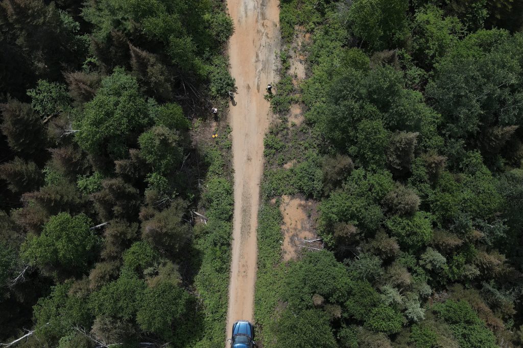
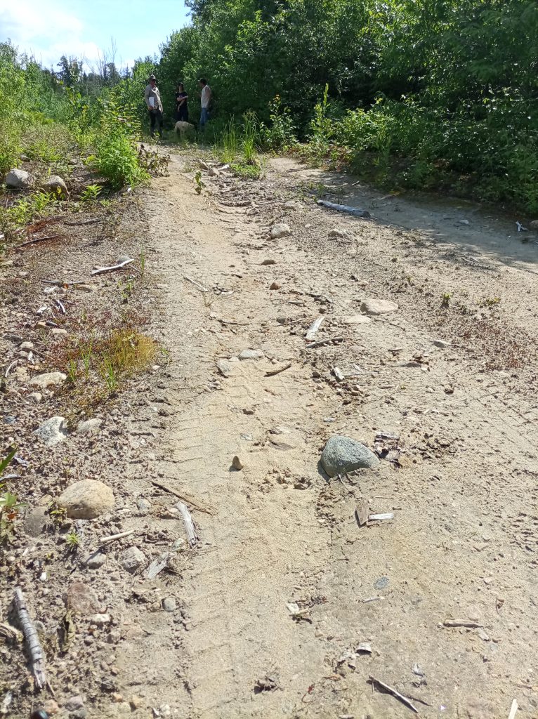
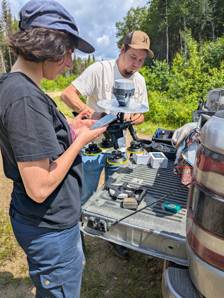
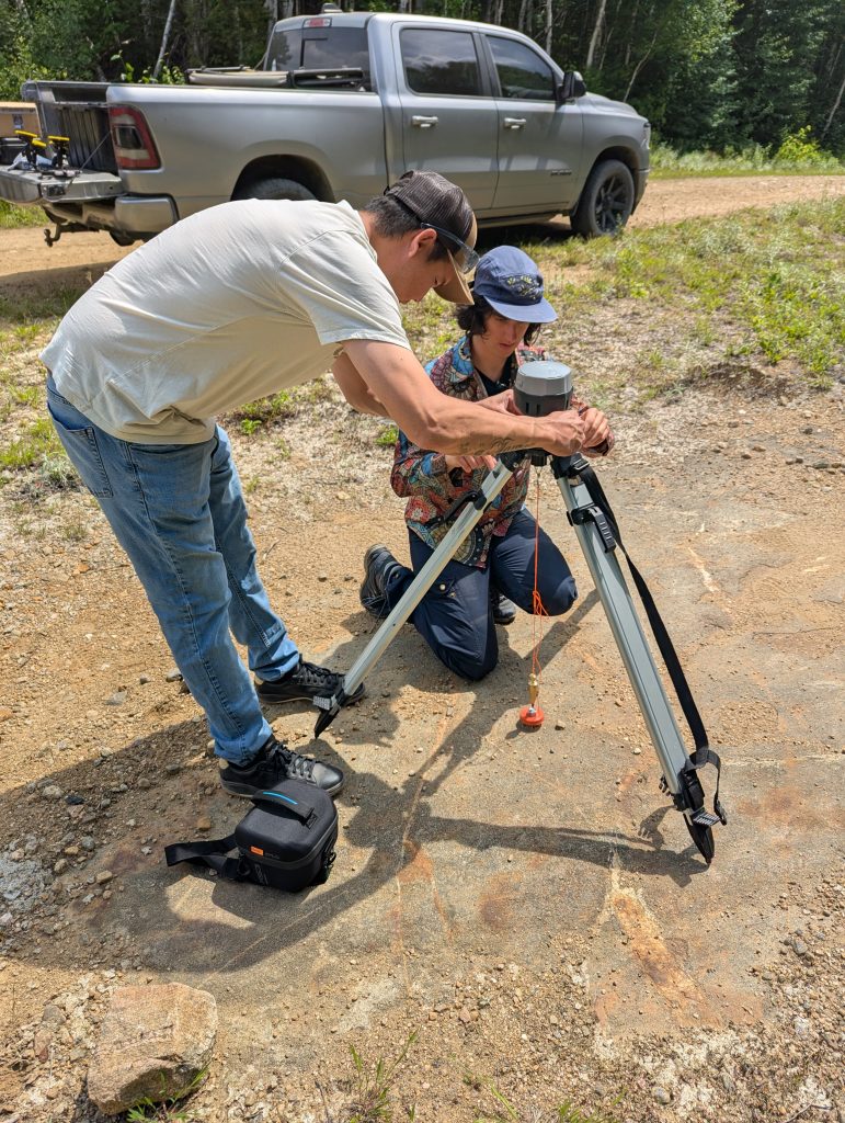
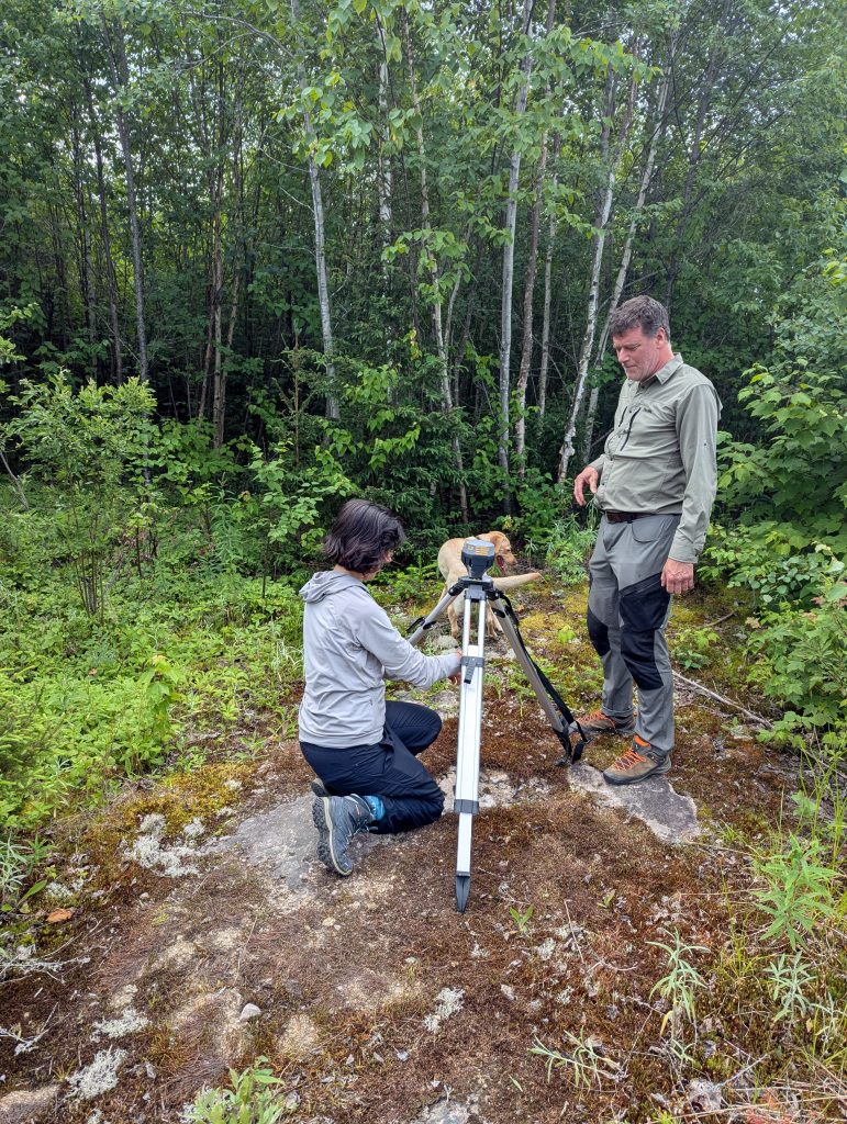
In July 2026, we travelled through part of the Manawan territory as part of a forestry road characterization campaign. The work included field surveys, drone acquisitions, and LiDAR data collection. The combined analysis of these different data sources will help us better understand the mechanisms behind the observed deterioration.
The project is not yet complete, and the collaboration with the First Nation of Manawan will continue. The next steps will involve continuing drone and LiDAR acquisitions, then developing a detection model that will be applied to all survey data. This work will make it possible to build a detailed database on road conditions and cross-reference it with environmental variables as well as structural road characteristics. We will then be able to better understand the factors that influence the emergence of deterioration, with particular attention to areas near waterways, since the main objective remains to assess their impact on these environments.
Acknowledgements
We would like to thank the First Nation of Manawan for its trust and for the opportunity it gave us to take part in this innovative project. Mikwetc.
A special thank you to Casimir Boivin, an expert in drone and LiDAR acquisitions, whose fieldwork is essential to data collection. We would also like to thank Marie-Laure Lusignan and Stéphane Clermont, who are leading the project with rigour and whose expertise directly contributes to its success.
This project is funded by the Impact Assessment Agency of Canada.